
Walk Bedford Township Streets by Address
An address result is strongest when it begins with the parcel rather than a name-only list. Bedford Township Assessing inspects, measures, photographs, and verifies property information where possible. Its BS&A portal is the first place to look for a parcel, situs address, owner, and assessment context. The county GIS map then puts that record in place. It shows the parcel shape and lets a researcher compare nearby parcels, ZIP boundaries, road labels, and the township line. A parcel owner is not automatically every person at the address, so keep the conclusion limited to what the record actually states.
- Confirm the number, street spelling, postal city, and ZIP with the USPS ZIP Code Lookup. Preserve the returned delivery form alongside the original address.
- Search Bedford Township’s BS&A property portal by address, parcel, or owner when that module is available. Record the situs address, parcel or SBL, owner, and current assessment year.
- Open the Monroe County Parcel Viewer, turn on parcel and boundary layers, and compare the parcel ID with the BS&A result.
- Use the owner and likely acquisition year in the Register of Deeds name index. The county says ownership cannot be searched directly by street address, so the parcel-to-name handoff matters.
- For a lawful individual registration check, use the Michigan Voter Information Center. A broad street roster is not supplied by that tool. Older household context belongs in dated reverse directories and local history collections.
Keep a dated row for each parcel. Include the source URL, parcel/SBL, exact situs number, postal city and ZIP, owner field, legal description, and any boundary concern. That simple record trail avoids treating a map snapshot as a census of the people who live there.
Note: A street can cross a postal or township boundary, so confirm every parcel before combining records from the same road.
Bedford Township Street Directory Parcel Keys
Bedford’s official property-information route opens the BS&A municipality portal for Bedford Township. It advertises detailed property, utility billing, current tax, building department, special assessment, sale, and assessing searches. The exact controls depend on the active module, so a field that appears in one search may not appear in another. The stable street-directory practice is to first verify that the municipality is Bedford Township, then save the parcel identifier and situs address before comparing any owner or value field.
| BS&A search key | Observed status | Street-directory use |
|---|---|---|
| Owner or name | Advertised module | Finds property tied to an owner field, not every household member |
| Parcel number | Advertised module | Connects assessment data to GIS and deed research |
| Situs address | Advertised module | Locates the physical parcel on a Bedford Township street |
| Sale or property criteria | Advertised module | Provides transfer and property context when displayed |
| Tax, building, utility, and assessing modules | Module-dependent | May supply administrative context, subject to access limits |
Useful displayed fields can include property class, land and building values, assessed, equalized, or taxable values, year built, sale references, exemptions, legal description, and improvement detail. These are property-record fields. They can explain a parcel’s history, but they should not be presented as proof of current occupancy.
Map Bedford Township Street Parcels
The Monroe County Parcel Viewer is the street-browse layer for Bedford Township. Search for a parcel or click one on the map, then pan to the adjoining shapes while keeping road labels and township boundaries visible. Its public layers include parcels, towns and villages, ZIP codes, centerlines, topography, roads, waterways, buildings, and parks. The hosted parcel layer also carries address, ZIP, SBL, acreage, value, year-built, living-area, room, utility, and school fields. Parcel geometry is recreated weekly and distributed quarterly, while the assessment join is maintained daily.
For a whole street, query or browse one segment at a time. The layer can use a street name, address, ZIP, or SBL where supported. Test direction and suffix separately when a result is missing. A record stored as a directional street or with a unit may not match a simplified search. The map boundary is important because a postal place can extend beyond Bedford Township.
- Parcel or SBL
- The county’s land identifier, used to connect the map, assessment record, and legal land record.
- Situs address
- The physical location of the parcel. It can differ from the address where an owner receives correspondence.
- Plat
- A recorded map that shows lots, blocks, subdivisions, or land divisions and can bridge older land descriptions to roads.
- Criss-cross directory
- A dated reverse directory arranged by street and number rather than only by personal name.
Bedford Township Street Record Sources
Different keepers answer different address questions. The assessment roll gives current property context, GIS supplies location and parcel structure, and the deed index supplies recorded parties. Building and ordinance material can be requested by a defined address and date range. Historical directories use a different time frame and should be read as the publisher recorded them. Each source should remain separate in an address-record trail.
| Address record | Custodian | What it can show | Access route |
|---|---|---|---|
| Assessment and BS&A | Bedford Township Assessing | Owner, parcel, situs or mailing address, values, class, sale, and PRE context | Online modules or assessor confirmation |
| Parcel GIS | Monroe County GIS | Parcel geometry, address, ZIP, SBL, and assessment-linked attributes | Public viewer and REST layer |
| Recorded instruments | Monroe County Register of Deeds | Grantor, grantee, recording date, instrument, and legal description | Fidlar, Laredo, Tapestry, office copies |
| Permits and code files | Bedford Building or Ordinance Department | Defined work, inspections, certificates, or case material when available | Department request or Michigan FOIA |
| Reverse directories | MCLS and GSMC collections | Dated head-of-household and street-number context | Library, society, microfilm, or collection access |
Michigan’s voter tools belong at the edge of this workflow. MVIC is an individual registration and election-information lookup, not a public list for a street. A formal QVF request can select a township, district, school, village, or precinct scope. It is not a substitute for parcel-by-parcel address research.
Trace Bedford Township Streets Through Deeds
The Register of Deeds holds deeds, mortgages, plats, liens, land contracts, and other recorded land instruments. Start with the current parcel owner and an approximate acquisition year, then search that person as grantee. The seller becomes the next earlier search target. Check the legal description, parcel reference, book and page, or instrument number at every handoff. A mortgage, release, lien, plat, or estate deed can put a name in the record without showing a routine sale.
The county offers several channels through its Deeds Search page. Fidlar Direct Search is the free index route. Laredo provides remote or in-office access, and Tapestry is the public paid party-name route. The county describes records from 1976 and a name index beginning January 1, 1981. For earlier Bedford Township land research, move to deed books, plats, microfilm, the county office, and the Genealogical Society of Monroe County’s land holdings.
The Monroe County Deeds Search page shows the county’s available search paths and copy guidance.
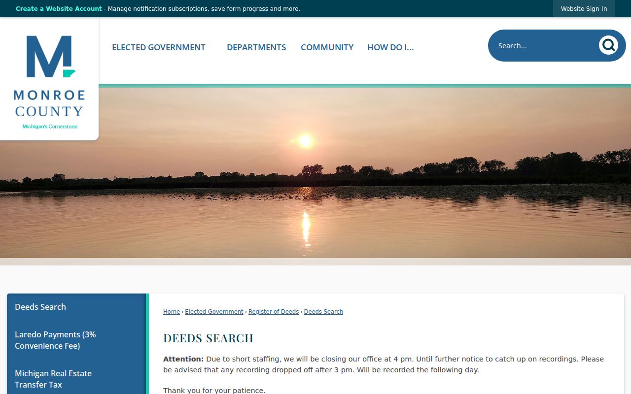
A visible index result still needs the parcel and legal-description check. The county lists an $8.75 party-name search through Tapestry at inspection, increasing to $8.95 on July 1, 2026, plus $1 per image. In-office print-only copies are listed at $1 per page. The image or certified record, not a third-party solicitation, is the proper way to verify a recorded instrument.
Voter Checks Near Bedford Township Streets
Michigan’s Voter Information Center can confirm registration and election information as the state publishes it. Its public screen is not a complete street roster. The state’s QVF request form is the defined route for a broader file request. It requires a requester identity and a geographic choice, then permits optional voter-history scope. The form describes residential and mailing addresses if available, year of birth, registration date, status, voter ID, jurisdiction codes, and requested history. It excludes month and day of birth, phone, email, signatures, driver or state ID data, and other protected fields.
The Michigan Voter Information Center is shown below as an individual lookup entry point.
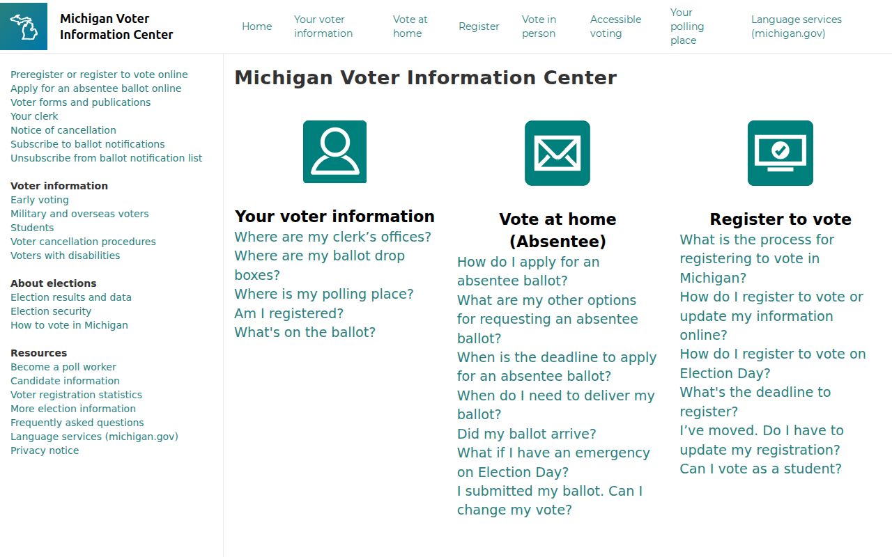
Use a result as a limited registration context, not a claim about all people at a residence. A missing result does not prove that nobody lives at the address, and protected-address participants must never be located by comparing records.
Note: Michigan does not register voters by party, and ballot choices are not public voter-record fields.
Bedford Township Street Permit History
Building records may help date construction, additions, garages, inspections, certificates, or compliance work at a Bedford Township address. The Bedford Township Building Department describes applications, plan review, fees, inspections, and certificates, but the inspected public pages did not provide a searchable permit-history index. Ask for a specific address and date range instead of seeking a broad household list.
For ordinance or code material, use the relevant township custodian. Bedford’s FOIA instructions provide the local request form and information about inspection, itemized costs, extensions, denials, and appeals. Existing records may be released with redactions. Utility customer records and usage data are not a public address roster.
Postal Names Along Bedford Township Streets
Address research in Bedford Township needs more than one place name. West Erie Post Office began in 1834 and became Lambertville in January 1836. Samaria was formerly Weeksville and received a post office in 1879. Bedford Center became Temperance when its post office was established in 1884. These changes are postal and place-name history, not proof that every street number was renumbered.
No official source located a complete modern street-renaming or renumbering schedule. Compare a historic address with its legal description, plat, parcel/SBL, cross street, post office label, and approximate year. The 1876 Bedford Township plat and current county GIS are better continuity tools than assuming an old postal label has a one-to-one modern address match. Older street-number entries can be checked through the dated collections described in the Bedford Township city directory.
The Genealogical Society of Monroe County holdings include the 1876 Bedford plat and Monroe County land records from 1820. The 1901 cadastral map adds another documented road and landowner context for an earlier address trail.
Note: “Bedford” exists elsewhere in Michigan, so county and civil-township identification should stay with every historical search.
Limits of a Bedford Township Street Directory
An address-focused records trail can trace public land and historical-address evidence. It cannot supply a complete household list. Records may omit people who are not named in a recorded instrument or dated directory. Utility subscribers, protected voters, motor-vehicle addresses, full birth dates, phone and email data, signatures, sealed court material, confidential adoption material, and Address Confidentiality Program participants have legal protections or access limits. Postal delivery information also does not prove municipal jurisdiction or present occupancy.
Lawful use. Bedford Township address records are for personal, lawful research. Do not use them to stalk, harass, intimidate, or harm any person.
When a fact matters for an estate, ownership question, public record request, or family-history project, obtain it from the office that holds the underlying record. The assessor, Register of Deeds, court clerk, and township department each control different parts of the address trail.