
Bedford Township Neighbor Block Sources
Public records describe a block in layers. The county map shows parcels and their physical relationship. Bedford assessment data can show an owner, mailing clue, values, an exemption indicator, and parcel details where the public module displays them. Historical plats and directories can explain an older lot or head-of-household sequence. Michigan voter access has a separate, controlled process. None of these sources is a complete directory for every address, and an owner record should not be treated as a list of all people at an address. The map can identify adjacent parcels, but it does not establish a personal relationship between neighbors.
| Source | What It Shows About a Block | Access |
|---|---|---|
| Monroe County Parcel Viewer | Adjacent parcels, roads, ZIP and township layers, and parcel-map context | Public viewer; search, click, and pan |
| Bedford BS&A assessment | Parcel owner, situs and mailing distinction, values, sale, PRE, and improvement fields when published | Public modules or assessor help; fields vary |
| Plats and historic maps | Lot, block, subdivision, and historical land-to-road relationships | Register of Deeds, MCLS, or GSMC collections |
| Michigan QVF | Scoped public voter data only when a lawful request is approved | Secretary of State request form; no casual street roster |
| Directories and newspapers | Historical head-of-household, address sequence, events, and organization clues | MCLS, GSMC, microfilm, and digital newspaper sources |
| Township boards | Public civic participation and meeting records | Official agendas, minutes, and applications |
A parcel edge shows proximity, not a family, social, or household relationship. Start with the map because it makes the physical boundary clear before any names are compared.
Bedford Township Neighbor Parcel Records
The Monroe County Parcel Viewer is the visual bridge between an address and its nearby parcels. Turn on parcel boundaries and road or centerline labels, search for a parcel or click the target, and then pan to contiguous parcels. The county’s map layers include parcels, township and village boundaries, ZIP codes, topography, roads, waterways, buildings, and parks. Record the target SBL, the situs address, and any change in ZIP or jurisdiction before treating a parcel as part of a Bedford Township block.
When the map click is unclear, test the street number, normalized street name, suffix, directional prefix, and ZIP separately. A unit designation or abbreviation can be stored in another field. Compare the geometry with the address point and road centerline, then check the township boundary layer. A nearby parcel can be in another jurisdiction, while the same ZIP label can cover more than one civil area.
The public parcel REST layer documents useful map fields, including address, ZIP, SBL, acreage, values, year built, living area, utilities, and school district. The layer is recreated weekly and distributed quarterly, while its assessment join is maintained daily. These are map and assessment attributes, not a guarantee that a person currently lives on the parcel.
Note: Date the map review because parcel geometry and assessment-linked fields are updated on different schedules.
Mapping Bedford Township Neighbor Records
The adjacent-parcel method is a repeatable way to study the immediate block. Keep each parcel separate in your notes. A selection or measure tool can document spatial proximity, but a drawn buffer does not create a relationship between the people connected to those parcels. The map result needs a follow-up check in the assessment record, and the assessment record must retain the distinction between the parcel’s situs address and the owner’s mailing address.
- Open the county parcel viewer, locate the target address, and note the parcel or SBL together with the exact situs address.
- Enable parcel boundaries and road labels, then click or pan to every parcel that shares a boundary with the target.
- For each adjacent parcel, record its SBL, situs address, ZIP, and township-boundary result before checking the Bedford BS&A record.
- Use the assessment record to distinguish a recorded owner from an owner mailing clue, then keep uncertain occupancy conclusions out of the result.
For a full named street rather than the immediate block, use the Bedford Township street directory, which follows the parcel and deed chain across the street.
Bedford Township Neighbor Record Fields
The county’s public parcel schema carries much more than an address label. It can include SBL, parcel address and ZIP, acreage, assessed values, year built, living area, bedrooms, baths, building style, exterior, utilities, school district, neighborhood code, and historical book or page fields. Those fields help separate two similar addresses and explain a parcel’s record context. They do not establish a current household list.
| Field or term | Why it matters in a block review |
|---|---|
| SBL or parcel identifier | A land identifier that stays useful when an address format changes or a map label is incomplete. |
| Situs address | The location of the parcel. It is distinct from the address used for assessment correspondence. |
| Owner mailing address | A tax-mailing clue. It can be outside Bedford Township and does not identify every occupant. |
| PRE indicator | An exemption-related assessment field that can support an ownership question but is not proof of present occupancy. |
| Legal description | The lot, block, subdivision, or land description used to match a parcel to a plat or recorded instrument. |
Use the Bedford Township BS&A portal for the assessment layer. The vendor advertises owner/name, parcel, address, sale, tax, utility, building, and assessing modules, but the active Bedford form is module-dependent. Confirm what the live record displays rather than assuming every advertised field is available.
Postal Names Around Bedford Township Blocks
Bedford Township’s historical postal names can make an address look like it belongs to a different place. West Erie was renamed Lambertville after the post-office change of January 15, 1836. Weeksville became associated with Samaria, whose post office began in 1879. Bedford Center became Temperance after an 1884 post-office change. These are changes in place or post-office identity, not proof that a parcel number was renumbered.
When an old directory, plat, or deed uses Lambertville, Samaria, Temperance, or an earlier name, compare its legal description and the modern GIS parcel before deciding it describes the same block. The research did not locate a complete official street-renumbering schedule for Bedford, so matching only the street number across eras is not enough.
Voter Data on Bedford Township Blocks
Michigan’s voter systems do not create a public all-address roster. The Michigan Voter Information Center helps an individual check published registration and election information. The formal Qualified Voter File request lets a requester select a lawful geographic scope, including township, district, school, village, county, or precinct. It describes public address and status fields, but it excludes full date of birth, phone, email, signatures, ID numbers, and protected records. Michigan does not register voters by party.
The Secretary of State’s public voter lookup is shown below. The service is for individual election and registration context, not a device for reverse-engineering every household on a Bedford Township block.
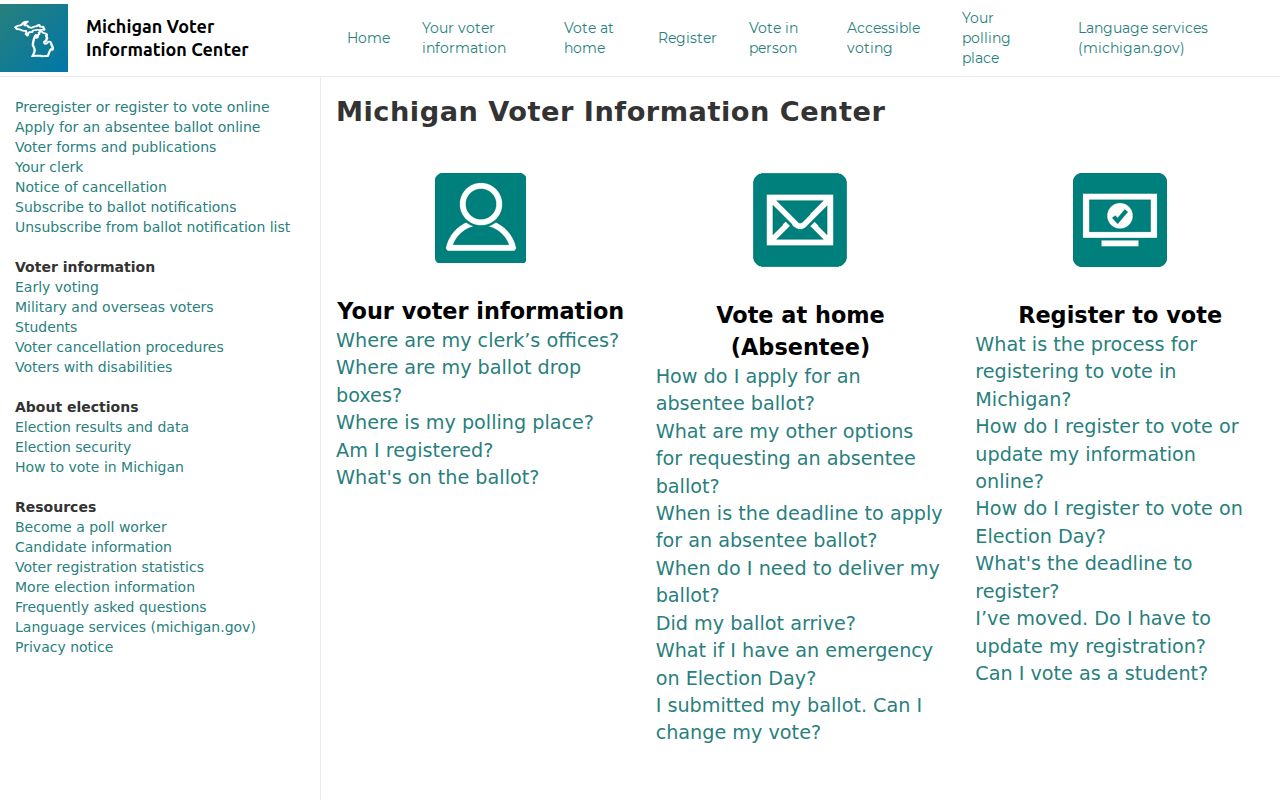
Scoped QVF data can be requested only through the state’s process and use restrictions. Do not infer that everyone on a block is registered, and do not compare parcel data with protected voter information.
Community Records Near Bedford Township Blocks
No township-published inventory of neighborhood associations or member directories was located in the research. Bedford Township’s Getting Involved information instead directs residents to public boards and commissions, with descriptions and applications routed through Township Hall. That is a source for civic participation and public meeting context, not private membership.
Bedford boards and commissions
Official applications, descriptions, agendas, minutes, and public notices can establish public civic connections without creating a household roster.
MCLS local history
MCLS genealogy resources include directories, newspapers, plats, oral histories, church, cemetery, and local-history material.
GSMC finding aids
The Genealogical Society of Monroe County identifies Bedford plat, census, directory, land, and obituary holdings. Verify access because Museum Archives services are closed for construction in 2026.
Congregations, block watches, civic clubs, newspaper notices, and cemetery material can add historical context, but they may not publish member lists. Informal map labels need an official subdivision plat or township planning source before they are treated as a verified neighborhood name.
Official Sources for Bedford Township Blocks
Records from the county and township identify their custodian, date, geographic scope, and known limits. Neighbor-lookup services sold as a commercial category may combine historical addresses, property material, marketing data, and other purchased or public sources. Their proximity matches can be wrong when a parcel owner is elsewhere, an address has changed, or separate units have been combined. The most careful result preserves the official source and never treats a proximity match as proof of who lives next door.
| Source type | Strength | Limit to keep visible |
|---|---|---|
| Official GIS and assessment | Shows a documented parcel, its spatial context, and published assessment fields. | Owner information does not identify every person at the parcel. |
| Deed and plat records | Provides recorded parties and the legal land relationship across time. | A deed is an ownership trail, not a current-occupancy record. |
| Historical directories and newspapers | Can supply a dated address or community connection. | Coverage varies by title and year, and entries describe their own time. |
| Commercial neighbor tools | May offer a quick lead from compiled data. | Data can be stale, merged, incomplete, or unclear about its original custodian. |
Note: Preserve the record date, custodian, and parcel identifier so another researcher can check the same source without relying on a copied claim.
Privacy Limits for Bedford Township Block Records
The closest public record is not the complete neighborhood. Public sources can omit occupants who are not named in land records, utility subscribers and usage, protected voters, DMV addresses, full birth dates, phone and email details, signatures, SSN fragments, sealed court material, confidential adoption information, and protected-address participants. Michigan FOIA does not override statutes that make a record confidential, and court or agency custodians decide what must be withheld or redacted.
The Michigan Address Confidentiality Program gives eligible participants a designated address and mail forwarding through 2020 PA 301. It can cover voter registration, driver license or state ID, state benefits, public school or library records, and certain mail. An application begins with a victim advocate or application assistant. It is not a general location service. Never try to derive an ACP participant’s location by joining parcel, voter, court, or business records.
The official ACP information shown below explains the state’s protection route. A substitute address is a hard privacy boundary for Bedford Township neighbor research.
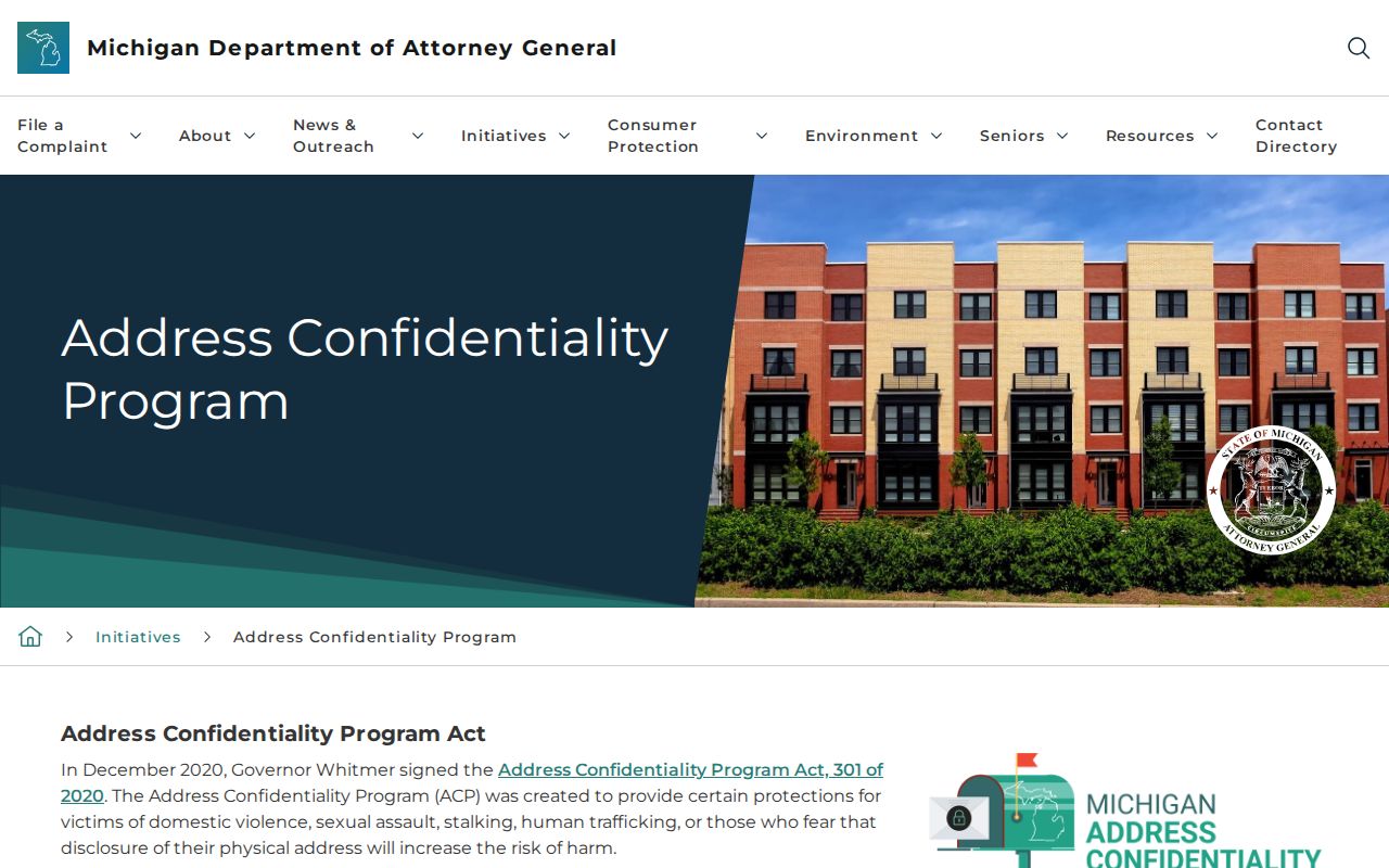
Michigan’s anti-stalking law, MCL 750.411h, applies to repeated unconsented conduct. Public availability of a parcel record does not authorize surveillance, harassment, or unwanted contact.
Lawful use. Use parcel records for personal, lawful research and stop at protected data. Do not use public information to stalk, harass, intimidate, or harm another person.